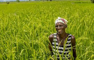
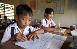
Have you considered a gift to CRS in your will?
Your gift will transform the lives of countless people and leave the world a better place.

putting our faith into action to help the world’s poorest create lasting change
Help deliver critical aid to families
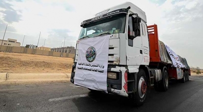
Make an Easter gift that will go a long way
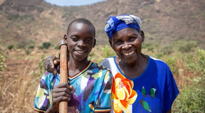
our work overseas
We work with organizations around the world to help poor and vulnerable people overcome emergencies, earn a living through agriculture and access affordable health care
Turn Dollars Into Change
Bring lasting change to children and their families. Become a regular donor and for just 80 cents a day, you can make a difference!
Ways to get involved
Latest News
-
April 8, 2024
Six Months On, CRS Expands Humanitarian Operations in Gaza; Calls for Immediate End to Violence
Additional CRS distribution sites, offices, warehouses established, but more aid needed
-
March 28, 2024
Celebrate Easter with Your Global Family Through Lenten Alms
Turn in your CRS Rice Bowls to reduce hunger and poverty worldwide
-
March 20, 2024
CRS Urges Passing of Locally-Led Development and Humanitarian Response Act
Act will improve aid efficency & increase sustainble programming
