Have you considered a gift to CRS in your will?
Your gift will transform the lives of countless people and leave the world a better place.

Photo by Patrick Meinhardt for CRS
putting our faith into action to help the world’s poorest create lasting change
Help deliver critical aid to families
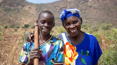
When you donate to CRS, you help families in need facing emergencies.
Make an Easter gift that will go a long way
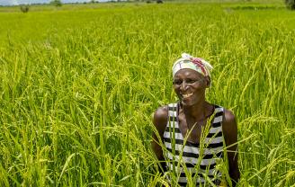
Your donation to CRS Rice Bowl helps communities access food and sustainable livelihoods in more than 120 other countries .
our work overseas
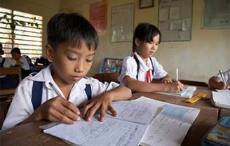
We work with organizations around the world to help poor and vulnerable people overcome emergencies, earn a living through agriculture and access affordable health care

Turn Dollars Into Change
Bring lasting change to children and their families. Become a regular donor and for just 80 cents a day, you can make a difference!
Ways to get involved
Latest News

-
April 8, 2024
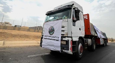
Six Months On, CRS Expands Humanitarian Operations in Gaza; Calls for Immediate End to Violence
Additional CRS distribution sites, offices, warehouses established, but more aid needed
-
March 28, 2024
Celebrate Easter with Your Global Family Through Lenten Alms
Turn in your CRS Rice Bowls to reduce hunger and poverty worldwide
-
March 20, 2024
CRS Urges Passing of Locally-Led Development and Humanitarian Response Act
Act will improve aid efficency & increase sustainble programming


