Climate change pushes millions into poverty
On Earth Day, let us come together for our planet and global family.
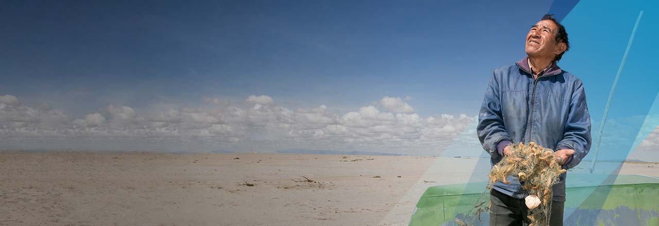
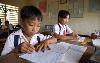
Photo by Philip Laubner/CRS
putting our faith into action to help the world’s poorest create lasting change
As little as 40¢ can make a difference
Live out your faith with a monthly gift for families around the world.
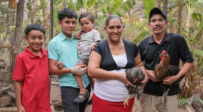
Make a gift to help families like Sandra's thrive
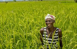
Choose from chickens for protein-rich eggs or a cow for fresh milk and extra income.
our work overseas
We work with organizations around the world to help poor and vulnerable people overcome emergencies, earn a living through agriculture and access affordable health care
Turn Dollars Into Change
Bring lasting change to children and their families. Become a regular donor and for just 80 cents a day, you can make a difference!
Ways to get involved
Latest News

-
April 24, 2024
CRS Applauds Congressional Passage of Foreign Aid Bill
Bill includes more than $9 billion for global humanitarian aid
-
April 8, 2024
Six Months On, CRS Expands Humanitarian Operations in Gaza; Calls for Immediate End to Violence
Additional CRS distribution sites, offices, warehouses established, but more aid needed
-
March 28, 2024
Celebrate Easter with Your Global Family Through Lenten Alms
Turn in your CRS Rice Bowls to reduce hunger and poverty worldwide


